Scale
More than 250,000 m² to assess a phased development, a long-term land reserve or other uses subject to feasibility.
Madre de Dios · Just outside Puerto Maldonado
A peri-urban land reserve in southeastern Peru, within Puerto Maldonado's growth corridor, with road access, an available power line and the scale to evaluate a phased development.
The journey
An aerial journey across the city, the Continental Bridge, the route towards El Triunfo and the true scale of the property.
The opportunity
The property is offered as one complete landholding for developers and investors. Individual lots are not for sale, and no approved subdivision is being represented.
More than 250,000 m² to assess a phased development, a long-term land reserve or other uses subject to feasibility.
Access by unpaved road and a power line in the immediate area, with the possibility of extending service to a future project.
Lots are already being advertised opposite the property from PEN 15,000. This indicates real-estate activity, not verified sales.

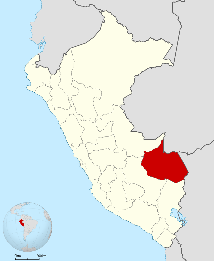 Madre de Dios · Southeastern Peru
Location
The property is located in El Triunfo, district of Las Piedras, province of Tambopata. It lies across the Madre de Dios River from central Puerto Maldonado, in an area where homes, new land developments and real-estate activity are already emerging.
Developer perspective
Under a central working scenario, acquiring the land for PEN 2 million would represent 21.1% of potential gross revenue. This is a sensitivity case for evaluation, not a guaranteed return.
The scenario assumes 118,725 saleable m². It must be audited through a concept plan, seasonal-water assessment, permits, development budget and absorption study.
The asset
Evidence from the surroundings
Opposite the property, a neighboring subdivision project advertises lots from PEN 15,000 and announced access to water and electricity. This reference signals commercial activity in the area; it does not imply any relationship with the project or prove sales or approved permits.
Access the information
This property is intended for developers, long-term investors and operators with the capacity to assess the acquisition of the entire landholding.